This page is archived. It is kept only for reference purposes, so it is no longer being updated and may not meet accessibility standards. If you need this content in a different format, please email [email protected] .
What Is Redistricting?
In order to get an updated count of the country's population, the U.S. Constitution requires a federal census every ten years. California used that census data to redraw the Congressional, State Senate, State Assembly, and State Board of Equalization districts based on population changes. The independent California Citizens Redistricting Commission (CCRC) used the new census data to redraw the Congressional, State Senate, State Assembly, and State Board of Equalization district boundaries.
The Secretary of State provided the new CCRC maps to the California State Legislature and to California's 58 counties who redrew precincts within the new district boundaries and assigned voters to the updated precincts. In Orange County, the Board of Supervisors is responsible for drawing supervisorial districts.
District Changes for 2022 Primary Election
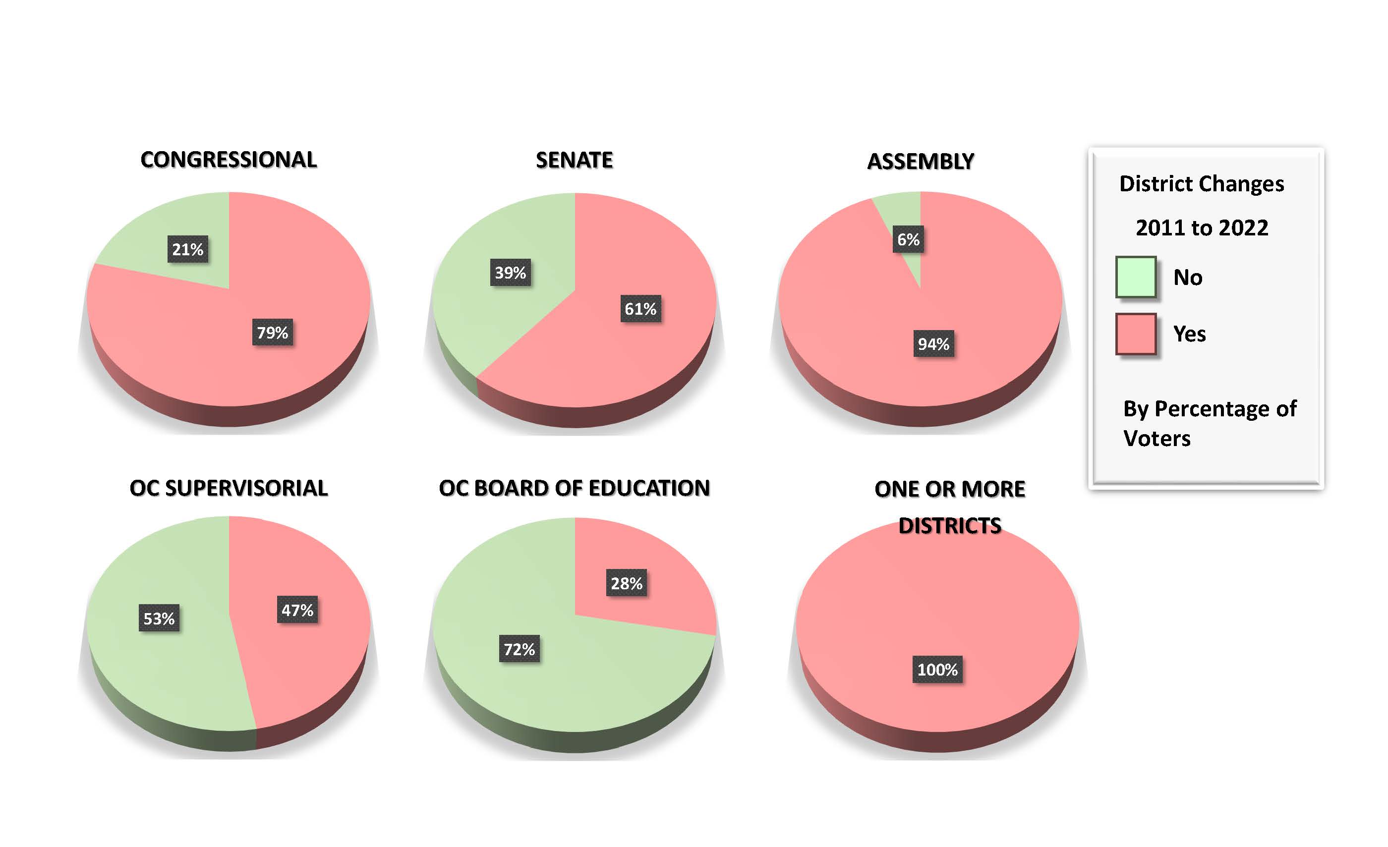
Every voter in Orange County will have one or more new districts on their ballot for the 2022 Primary Election. Pursuant to the California Constitution, the CCRC was required to renumber all Congressional, State Senate, State Assembly, and State Board of Equalization districts consecutively from the northern border with Oregon to the southern border with Mexico. Below is a chart showing how many voters in Orange County are affected by changes to the new district boundaries adopted after the 2020 Census. The chart shows the percentage of voters with new district numbers for each type of contest.
Find My Elected Officials
Using our voter lookup tool, you can view your current districts and elected officials. You will see your current districts, including the newly assigned districts for the Primary 2022 Election.
Find My District
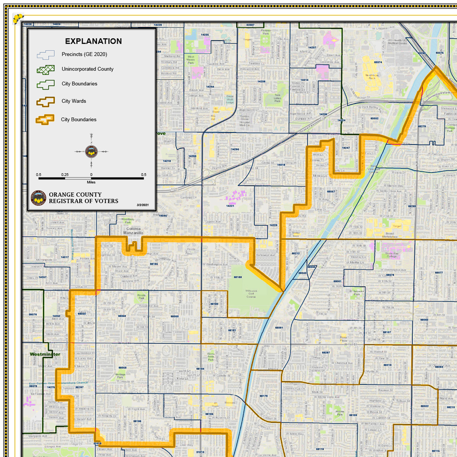
Use this interactive map to find the districts in which you reside. You can either enter an address, or use the interactive map to locate the newly adopted districts for Congressional, State Senate, State Assembly, State Board of Equalization, and County Board of Supervisors.
Maps Available for Download or Purchase
Maps are available for download using the links below, and printed maps can be ordered from our website. These maps show the newly drawn district boundaries.

Downloadable Maps
Maps in .pdf format are freely available for download using our new interactive system. Simply choose the district for which you need a map from the dropdown, and the map will be provided for you to download. The new boundaries for Congressional, State Senate, State Assembly, State Board of Equalization, and County Board of Supervisors are available now. Access the downloadable maps system.

Electronic Maps
Shapefiles and PDFs with just district boundaries are now available. Shapefiles and PDFs with district and precinct boundaries will be available now. To request customized shapefiles and PDFs, you can use our map ordering tool. Request customized maps using our map ordering tool.

Printed Maps
Printed, custom maps are available for a small fee. You can customize your map and complete your purchase online at ocvote.gov/mapping . Printed maps can either be mailed, or picked up at our office. Please allow two business days for printed map orders to be filled. Printed maps with district boundaries are now available. Printed maps with district and precinct boundaries are now available. Request customized printed maps using our map ordering tool.
FAQs
Still have a question? We're here to help. View our extensive FAQ list by clicking the Read More button.
Common Questions
- What is Reapportionment?
- What is the Difference between Reapportionment and Redistricting?
- Why are Redistricting and Reapportionment important?
- Why has the redistricting been delayed?
